
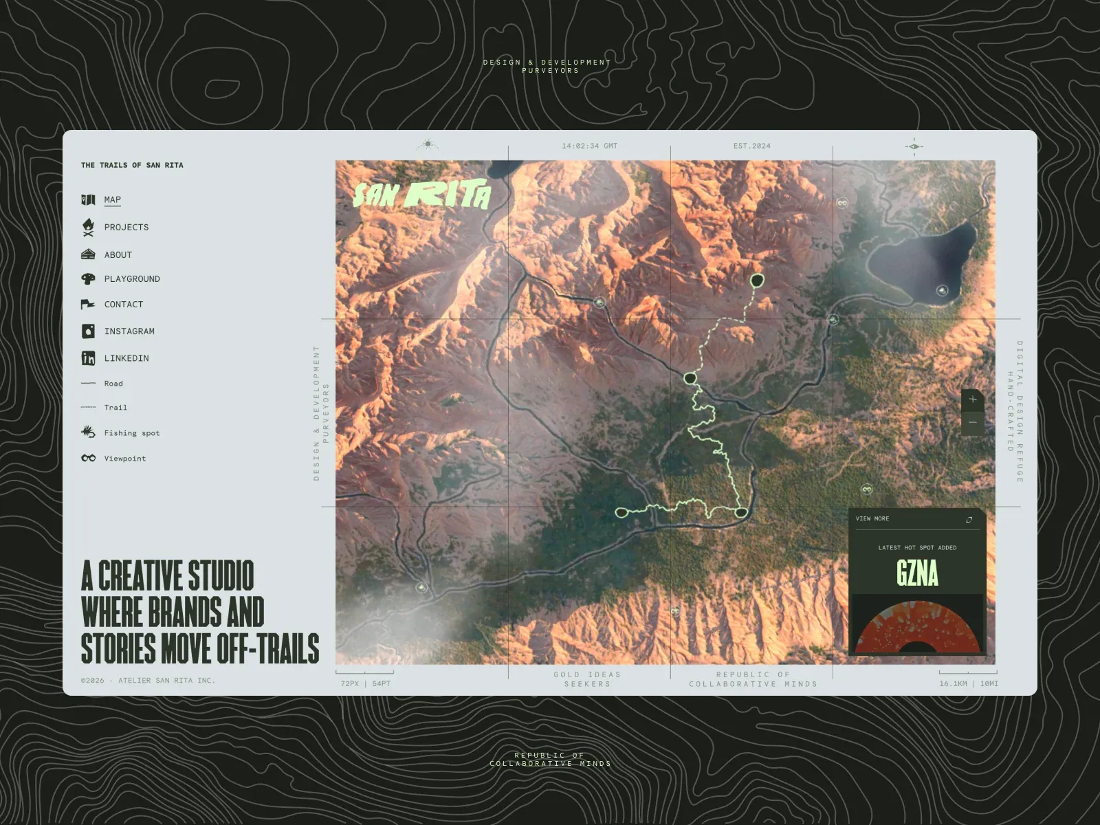
Screenshot from Awwwards, saved 2026-10-24
How it’s built
- Layout
- A pale bounded map-like page has a left column of small icon navigation and legend with a large condensed statement low. The larger right area shows aerial terrain, a highlighted winding route and small markers, with a dark inset information card. Fine rules and tiny coordinate-style labels frame the map. Outer contour pattern is staging.
- Type
- Large heavy condensed uppercase side statement; tiny monospaced-looking map labels and small sans navigation. Exact painted font identity unknown.
- Color and surface
- Pale gray panel, muted orange-green aerial terrain, dark green card and pale route.
- Components
- Combine a pale left icon navigation and legend with a large aerial terrain map, highlighted winding route, fine coordinate-like rules and a small dark inset card.
What makes it work
- Large aerial terrain map with highlighted winding route
- Pale left navigation/legend with condensed lower statement
- Fine coordinate-like rules and labels
- Small dark inset card
On a new subjectFor a public watershed education program, show an original aerial watershed map with a highlighted winding route, pale left navigation/legend, fine coordinate-like labels and a small dark information card.


